and there is a much easier method of determining "level" on a curve,
the
"U-Tube" Method, but it generally requires two people.
1) Get a 20' (or more) section of
clear plastic tubing.
2) Hold the ends straight up, and fill it with water up to about 4"- 6" from the ends.
3) Have a helper hold one end of the tube with the water level even with a mark on the first stake.
4) Walk the other end around the contour until the clear tubing is almost extended, and put a stake with a mark even with the water level at that end of the tube. (It is a good idea for the
helper to hold his thuimb over the end until the walker gets to his destination.)
5) The tubing will probably have to be occasionally refilled from a small bottle to compensate for spillage,
but if the water levels in the tube match, then the elevation at those points is absolutely level.
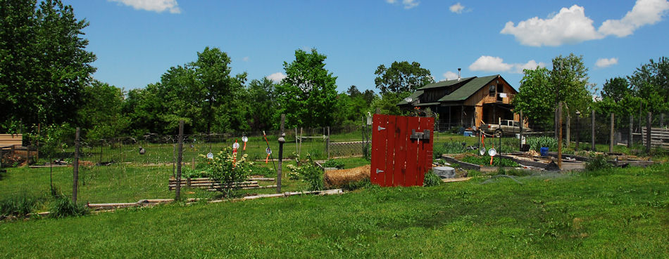
We garden on a moderate slope, but there is not much "contour". It is fairly linear.

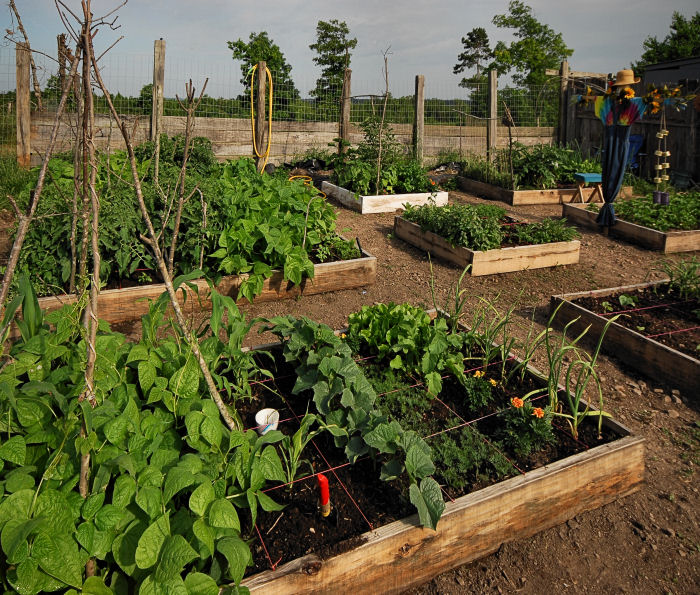
We started in 2007 with raised 4' X 8' boxes, oriented perpendicular to the slope
to keep our soil from washing down the hill.

This worked OK, but we lost some nutrients through leakage,
and water would channel between the boxes during heavy rains.
We joined the boxes together to eliminate the channels,
dug in and leveled the lower sides, and sealed them with clay.

We have since evolved to terraces.

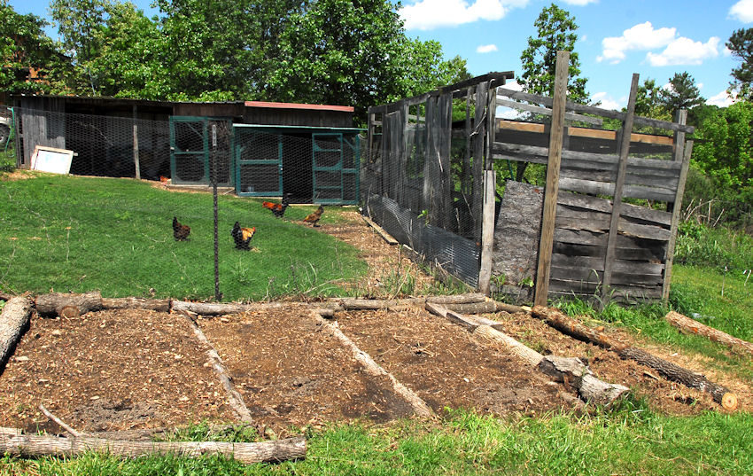
Our project this year is Oak Log Terraces.
The untreated pine boards in the original garden have a useful life of 3 seasons.
We are hoping the oak logs last longer. These performed well during the recent 18" of rain.
Our plan is to expand these next year.

The old weathered structure in the right middle ground is the remains of a goat shed
that has been the source of much of the soil we have used in our garden.
In the background are the chicken coops and a few of our birds.