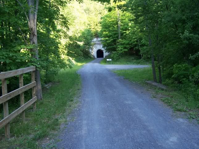
A few Weeks ago I biked up from Myersdale to the Mt Salvage Tunnel. I did not have my camera so I could not post any pictures. I now have some pictures of that area around Mt Salvage Tunnel. First the Tunnel itself:
From the West Side of the Tunnel:
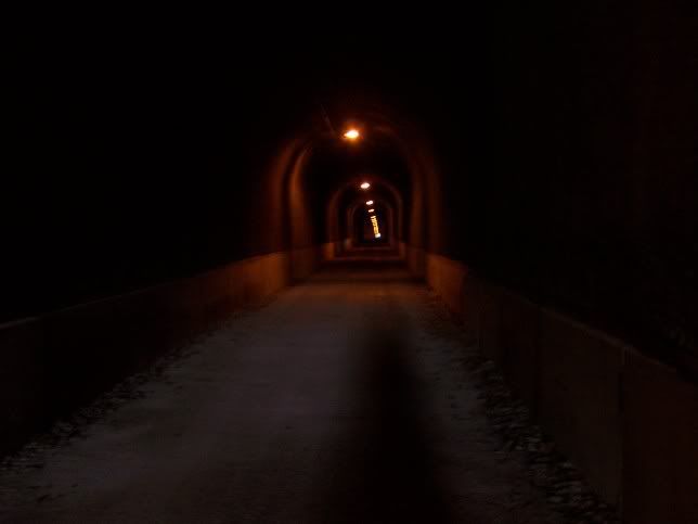
From Inside the Tunnel:
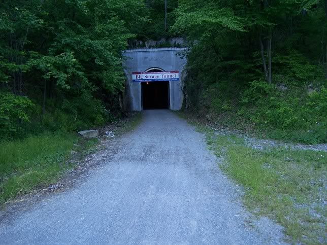
From the East Side of the Tunnel:
The view down Mt Salvage Mountain on the East side of the Tunnel:
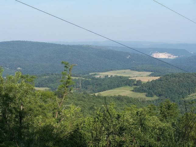
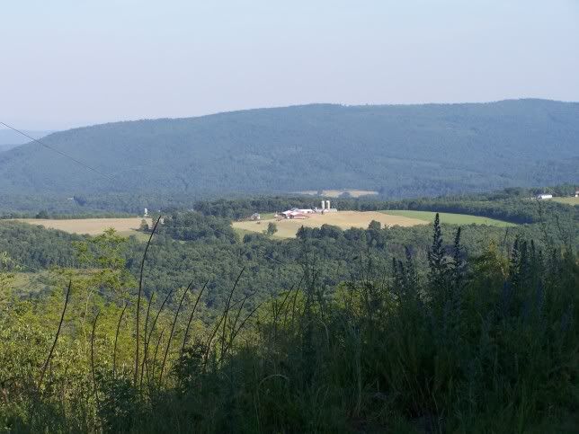
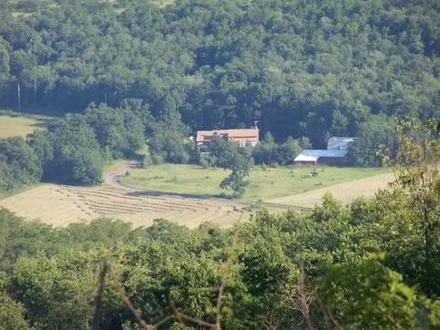
If you want to go to Cumberland here is the trail:
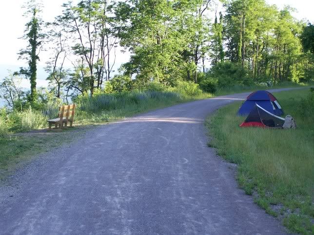
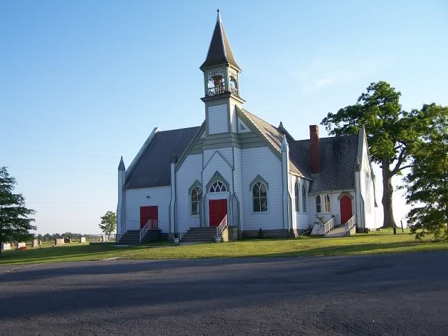
Now if you want to go to the Tunnel, you can Take US 40 out of Cumberland to MD 36 (MT Salvage Road) and follow it till you come to MD 47 (Barrelville Road). When you Cross into Pennsylvania this becomes PA 160 (Cumberland Road). Take this a the Following Lutheran Church on your Left:
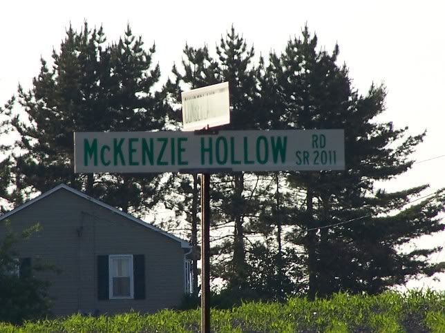
Then turn Left on to McKenzie Hollow Road You will see a Sign saying "Deal" and pointing down McKenzie Hollow Road:
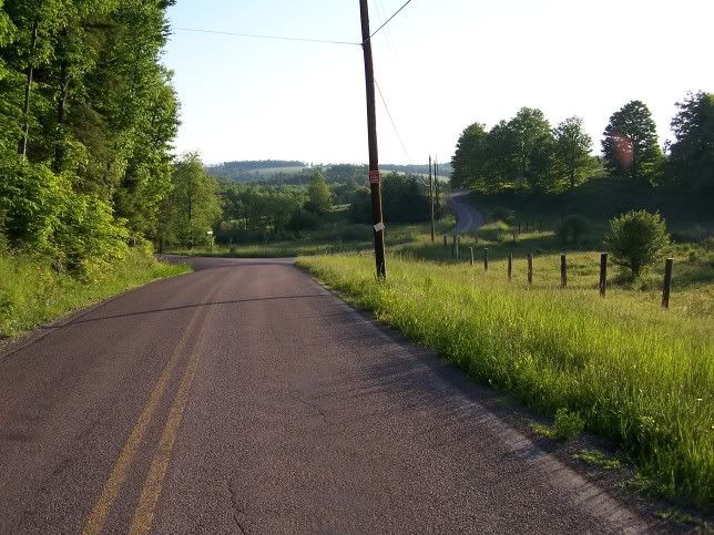
Go to the next right and turn after you see the Bike Trail sign on the Telephone pole:
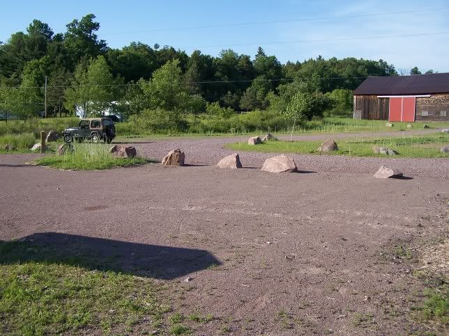
You will quickly come to the Deal trail-head:
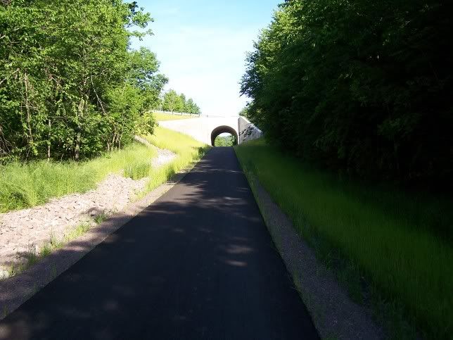
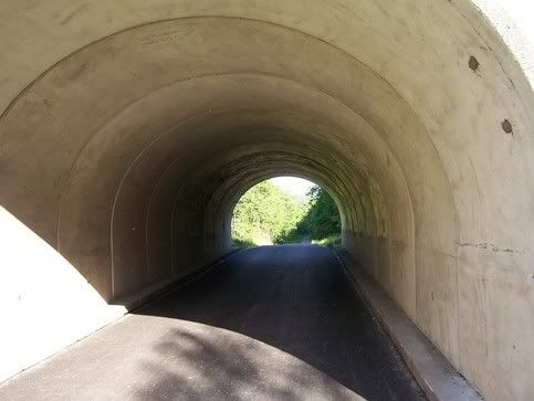
Then get on your bike and peddle the 1 1/2 miles to the Tunnel. You will first have to go under "New Deal Road". This is the highest point on the trail for when the Railroad was abandoned in the 1970s Penndot Just filled in the old Railroad cut when it built the road. When the trail was opened Penndot agreed to install a new Bridge, but instead of digging down to the old railroad grade, all Penndot did was cut enough for a Tunnel under the Road. Thus the Trail goes UP to this mini-tunnel and then back down and you are one mile from the Mt Salvage Tunnel"
If you are coming from the Turnpike, take the US 219 South Exit, take US 219 to Berlin Pa and get on PA 160. Follow PA 160 to the above Church.
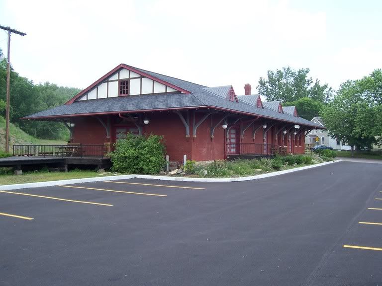
If you want to take the trail from Meyersdale, just follow US 219 till you get to Meyersdale. At Meyersdale take "Business" US 219 through Meyersdale. You will come to a One lane tunnel under the B&O Line and then the Meyersdale American Legion (It has a M60 Tank in its front yard). At that point look for small "Bike Trail" Signs and follow the Signs to the old C&O station. From they you can go East to the MT Salvage Tunnel or west to the Salisbury Viaduct of the old C&O (now part of the trail).
The train Station (This is from Last year, 2005):
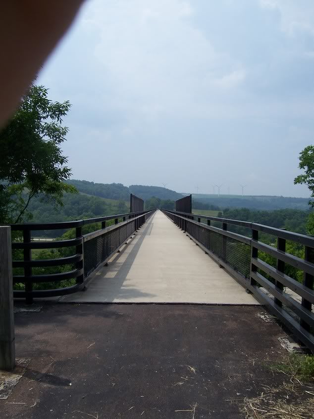
View from the Salisbury Viaduct (that is "New" US 219 below and again this is from last year, 2005):

And the viaduct itself (This is from last year, 2005)
For more on this trail see the Allegheny Trail Alliance Web Site:
http://www.atatrail.org/visit/trips.cfm#ViaductFor a Map of the trail:
http://www.atatrail.org/maps/map.cfmFor the Elevation of the trail:
http://www.atatrail.org/maps/elevation.cfm