I try to do 4-5 miles each day and some sort of longer trip each night, but the later I have had to cut back do to the high temperatures. Anyway last week I tried part of the Lost Turkey Trail. I was on it for only 2 hours before darkness forced me to call it a day.
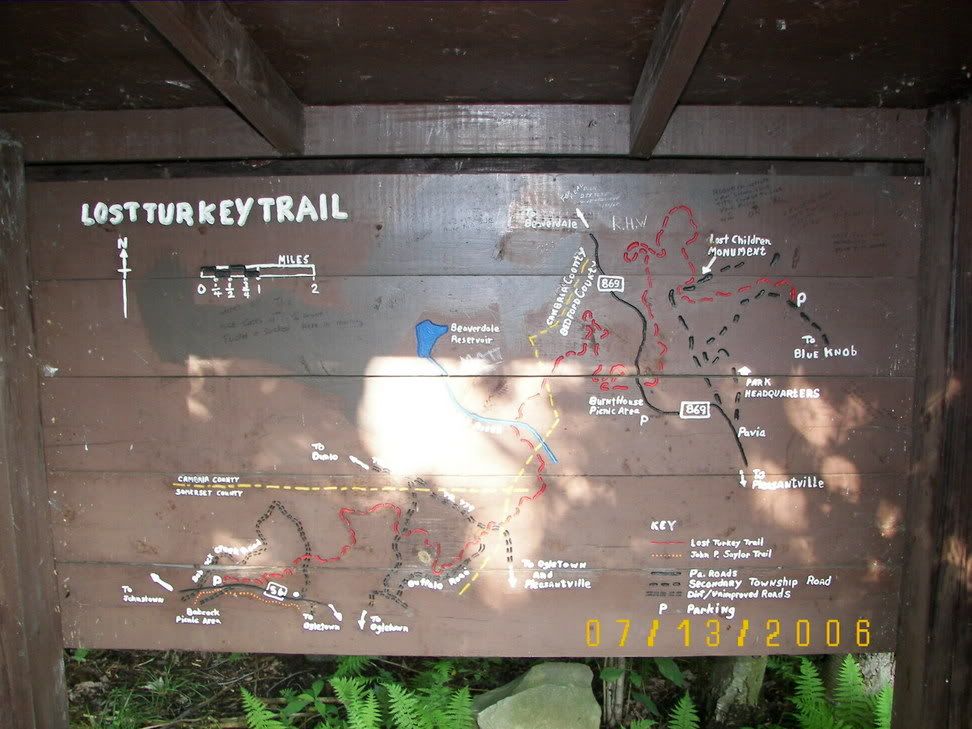
http://www.dcnr.state.pa.us/forestry/hiking/turkey.aspxNow the Lost turkey Trail is maintained by the Pennsylvania Bureau of Forest, and starts at the Babcock Picnic Area of Gallitizn State Forest and then runs through State Game land 26 and Blue knob State Park (Where it ends). There is a topo map of the trail at various trail heads.
Now the State Bureau of Forest attitude to bikes is Bike are permitted unless forbidden, when I went on the Babcock part of the trail I saw no signs forbidding biking (and this confirms a paper I read a few years ago that the Bureau of Forest was permitting biking on its trail).
For the Bureau of Forest:
http://www.dcnr.state.pa.us/forestry/sfrmp/recreation.htm#nonmotorizedThe Game Commission has a different Attitude to bikes. Until last year the Game Commission permitted bicycle anywhere a person could ride, but found out a lot of Mountain bikers were riding their bikes in areas that disturb nesting wild life. Thus the Game Commission adopted a rule OPPOSITE of the Bureau of Forest, Bicycles are FORBIDDEN unless permitted. While this sounds harsh, the Game Commission then adopted a very broad list of roads open to biking (while closed to motorized vehicles, remember if it si open to cars it is open to bicycles in State Forests, Game Commission Lands and State Parks).
Game Commission Regulations: See 135.41(c)(4):
http://www.pacode.com/secure/data/058/chapter135/subchapCtoc.htmlOne of the Designated Roads for biking sounds like the portion of the trail in State Game Land #26. When my Jeep is fixed (The water pump died last Saturday) I will try to see if this is the trail or not (if it is not it run a close Parallel to the trail):
http://www.pgc.state.pa.us/pgc/cwp/view.asp?a=463&q=151245Now the trail ends (or begins depending on how you look at it) In Blue Knob State Park. The State Park has the most restrictive rules on biking (Basically it is banned but without he very liberal places people can bike as on State Game Lands).
PDF Copy of State Game Land #26:
http://www.pgc.state.pa.us/pgc/lib/pgc/counties/maps/26A.pdfAnyway I did the route from Babcock to the Ranger Station. This was a rough (and is the roughest) part of the trail. Rocks all over the place. While my bike has a front suspension it is aimed for road running not jumping up and down perfectly good rocks, so I ended up walking my bike in this area:
A Map at the start of the Trail (Please note there are paper maps at the trail head in addition to this big map)
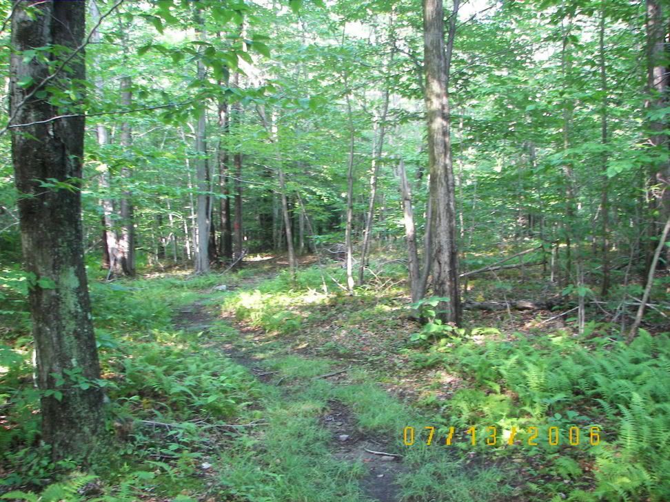
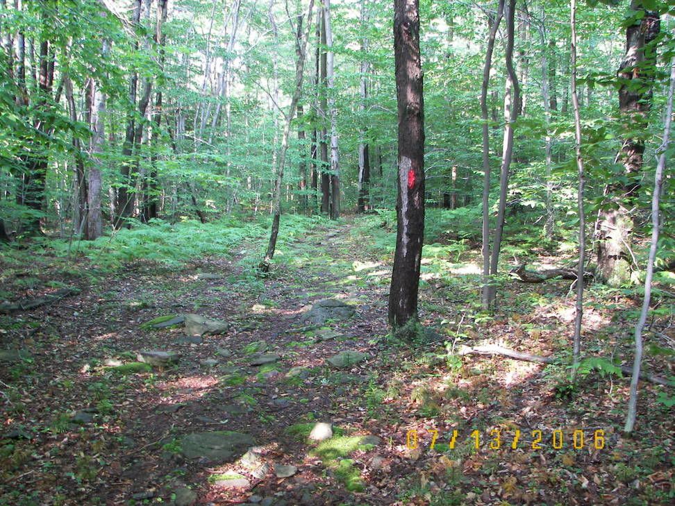
After about a mile you run across a nice Glen (it does not last long):
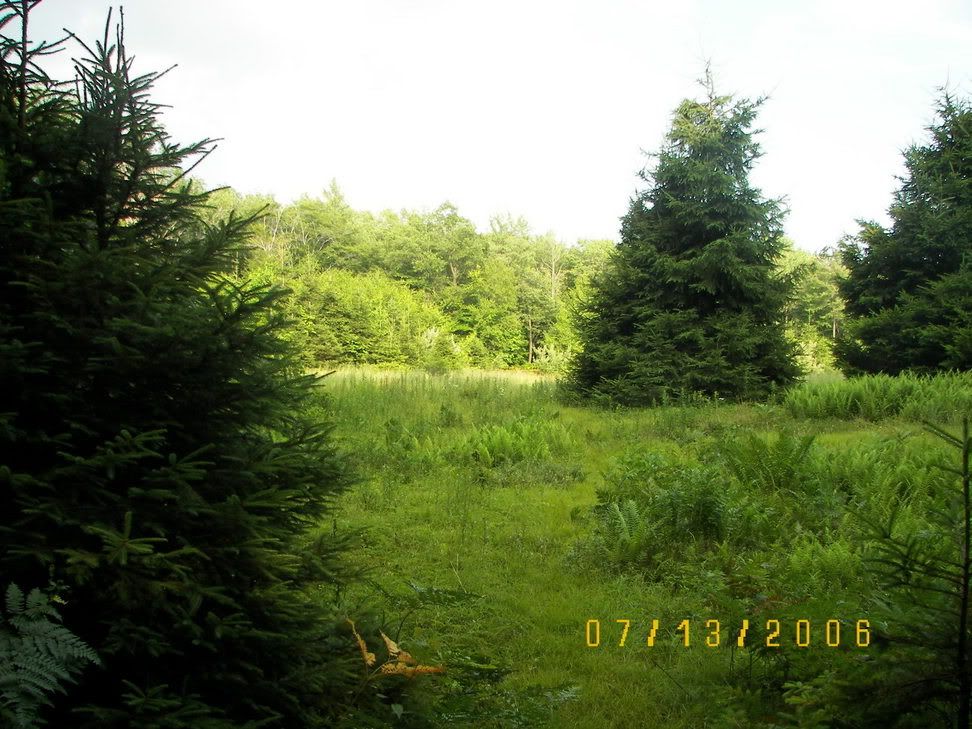
While the Topo map do NOT show it you then come across a old logging road:
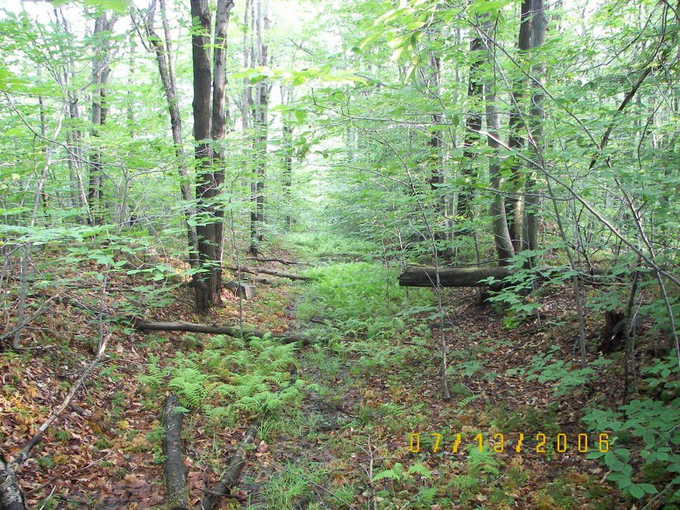
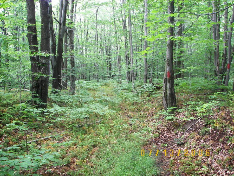
But the trail does NOT go on it, it cross the old road:
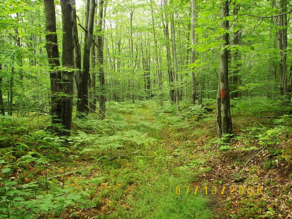
It continues through the rough terrain leaving the previous road behind but then enters a old road itself after about a mile maybe 1 1/2 miles:
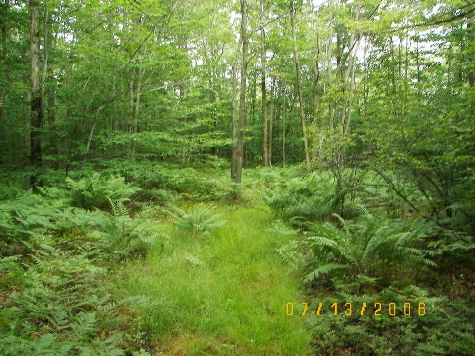
This road, while overgrown, does not have the rocks in it so I could ride my bike even with its slicks and this despite the fact that the old road was soaked with water from the recent rains:
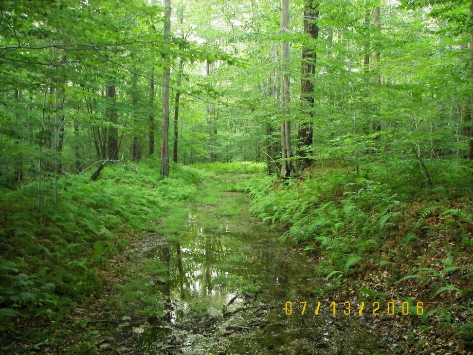
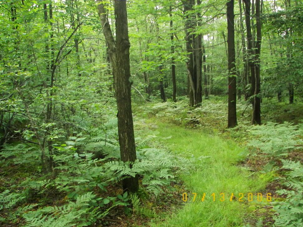

The trail continued to improve (must be an old logging railroad line as opposed to just an old logging road): In the late 1800 this whole area was logged out, on the Saylor Trail (on the other side of PA 56) you can see the remains of Several railroads grades, while it has several railroad grades Saylor is in a "Wilderness Area" and bikes are banned the last time I checked, unlike the Lost Turkey trail which is OUTSIDE the "Wideness" area.
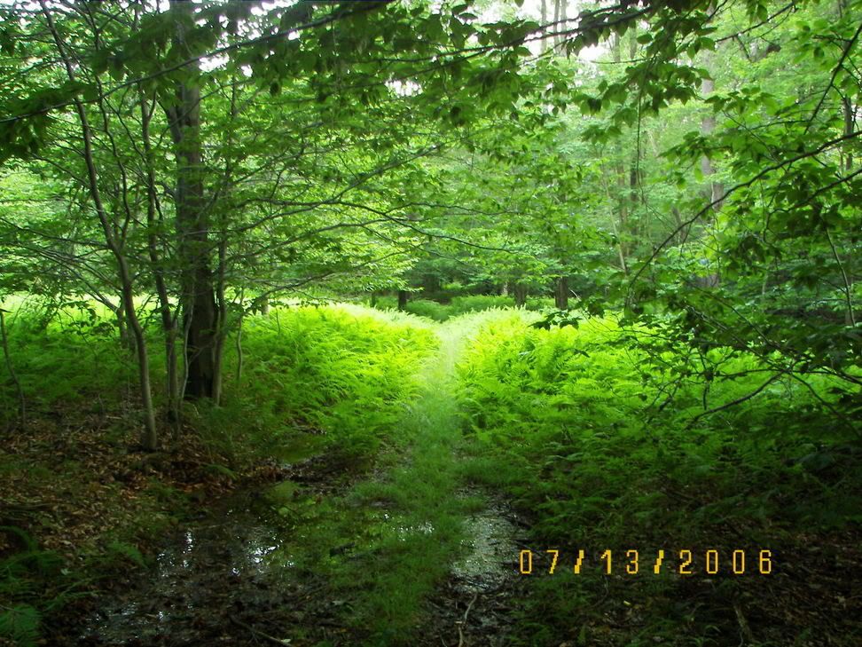
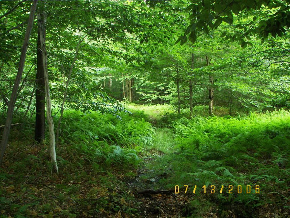
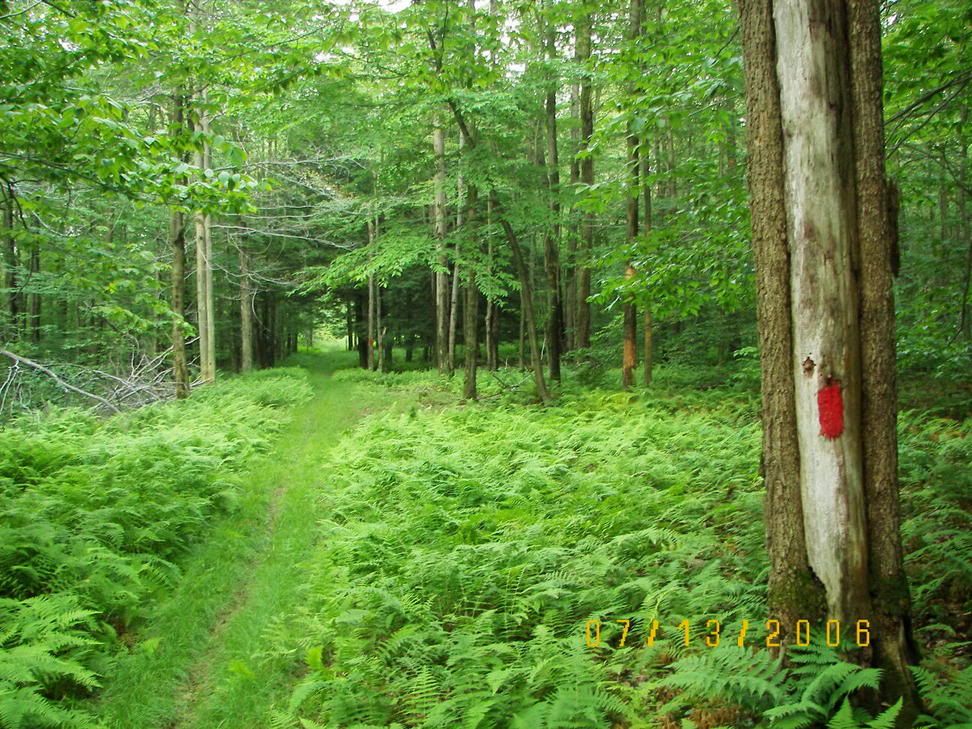
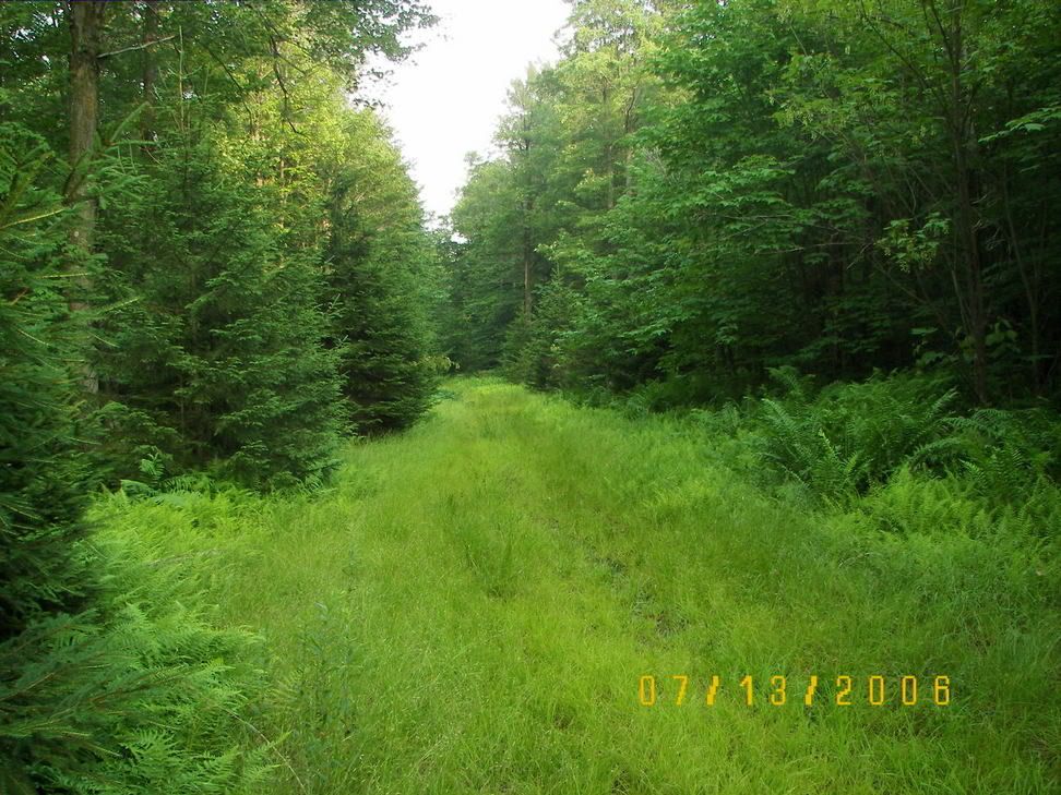
After about three miles (1-2 of which I walked my bike) I came to a fork in the path:
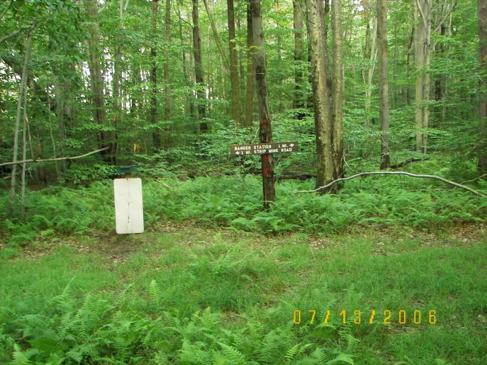
I then took the ranger station exit off the trail:
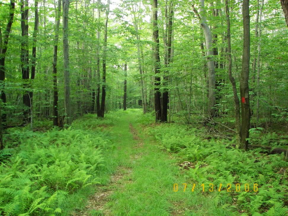
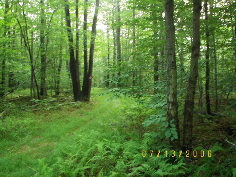
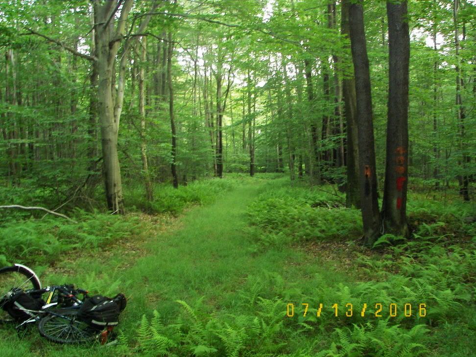
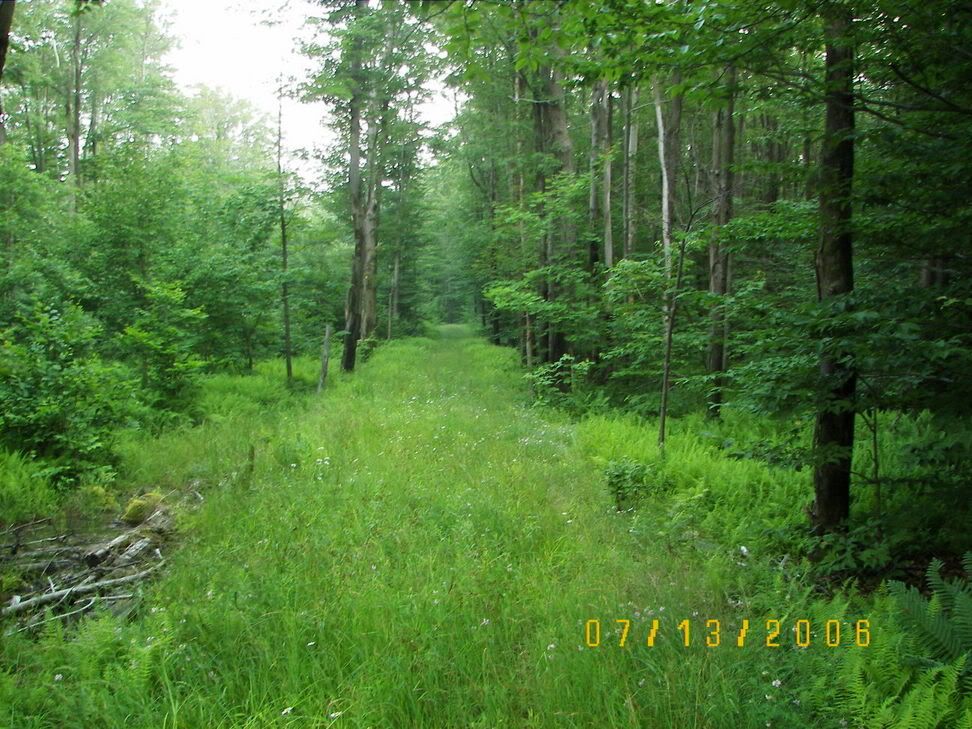
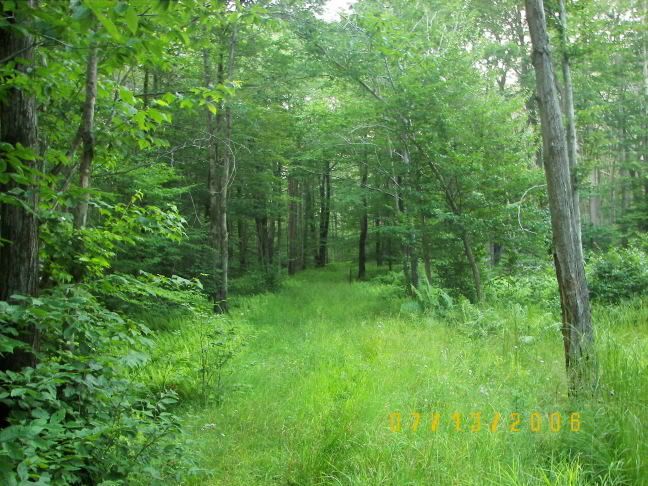
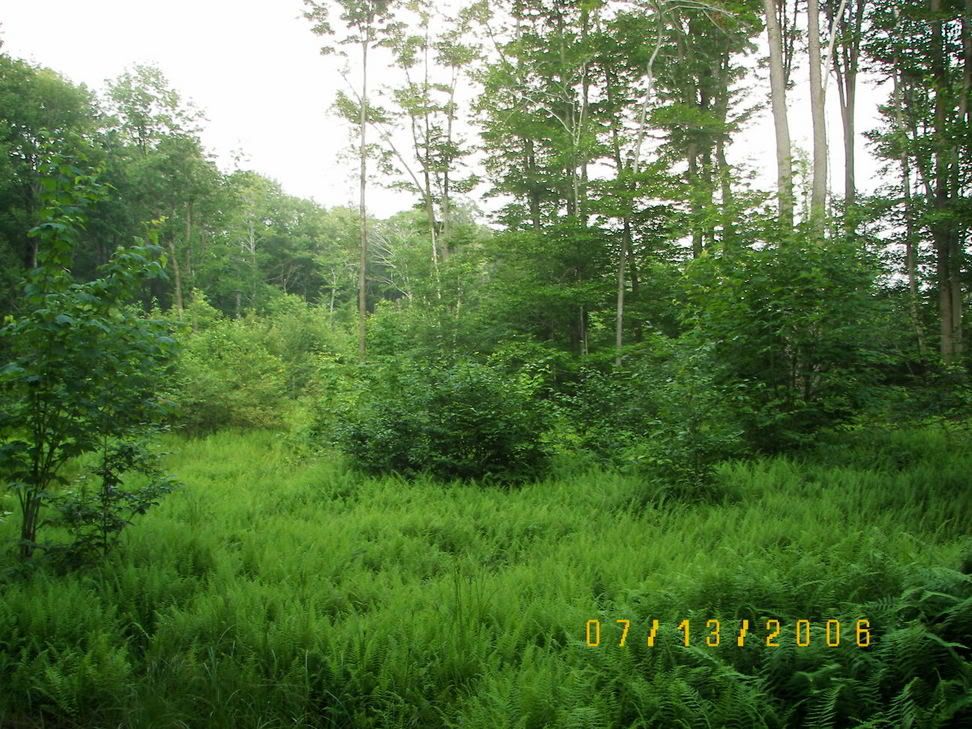
I then arrived at the Ranger Station on PA 56 and took 56 back to my Jeep (It took me about 15 minutes to get back).
Now about 1/2 between the start of the trail and the fork to the Ranger station I ran across a group of hikers. I rode my bike the rest of the way to the fork, stopped to take the above picture and biked back to my Jeep and then after I loaded my Jeep up and took stock of my Pictures the first of the hikers arrived at the trail head. The first part of the Lost Turkey Trail is the roughest part of the trail.