At incline #6, I saw a lot of surveying posts in front of the Skew Bridge, through NOTHING on or right by the Bridge, but survey markers less then 50 feet away. The Skew Arch Bridge:
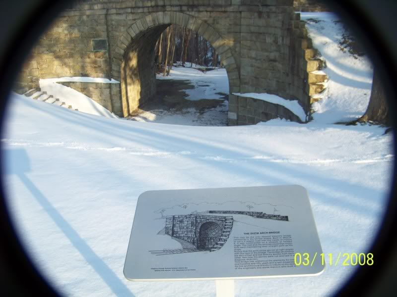
Old US 22 splits where the Skew arch bridge stands today. Prior to the 1920s the road was known as the Raystown-Huntington Road (In colonial Days as the Raystown Path). After the old Portage Railroad was abandoned in 1854, the Raystown Road continued over the Bridge. When Old 22 was paved in the 1920s it was bypassed as two narrow, but NOT torn down. Later one when old US 22 was made four lanes in this area, old US 22 was split at the bridge, the downhill side went along (roughly) the old Incline while the Uphill Section went along the old Raystown Road. Except where the road went over the old incline it remains to this day.


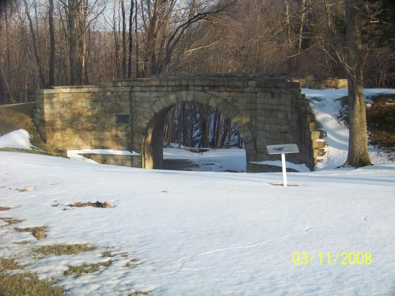

Looking uphill at the Bridge from downhill of the Bridge:
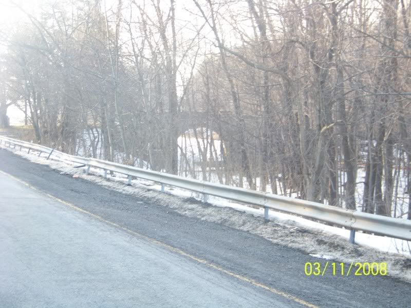
Looking uphill at the rest of Incline #6 from atop the Bridge:
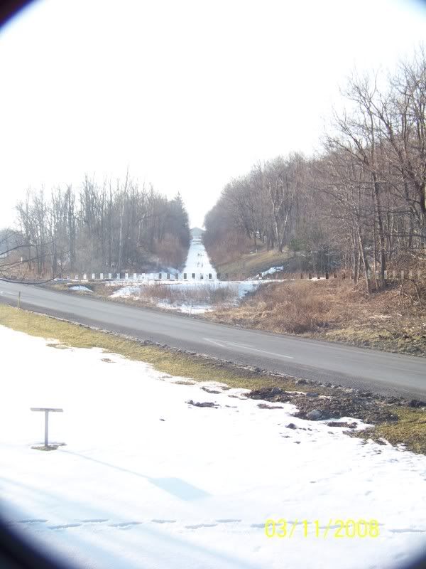
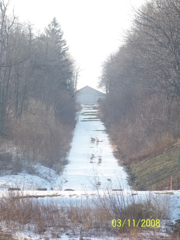
Looking downhill from the Bridge, at where Incline #6 continued down hill, now covered right now by old US 22.
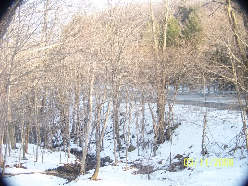
Looking at the Bridge, how wagons would have approached it, after it was built to take the old Raystown Road over Incline #6:
ttp://i14.photobucket.com/albums/a318/liar1958/Bike%20Trails/Pa%20Canal/100_0172.jpg
Picture of the Surveying posts:
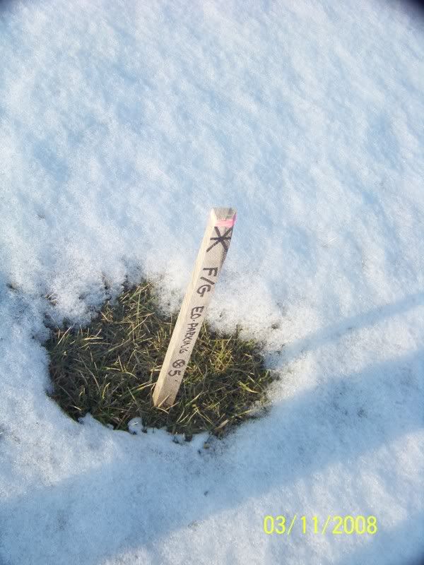
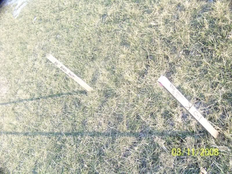
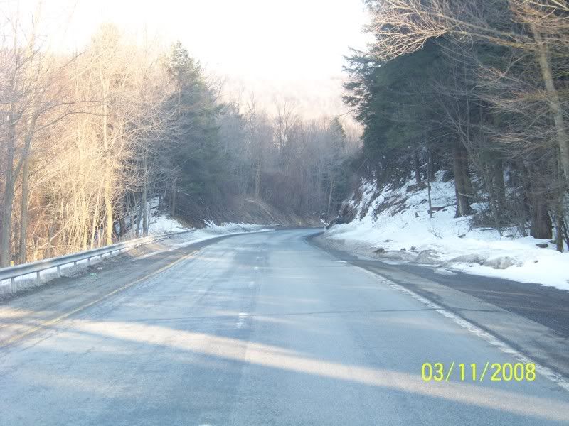
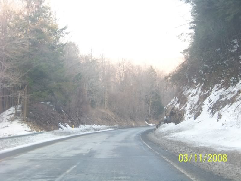
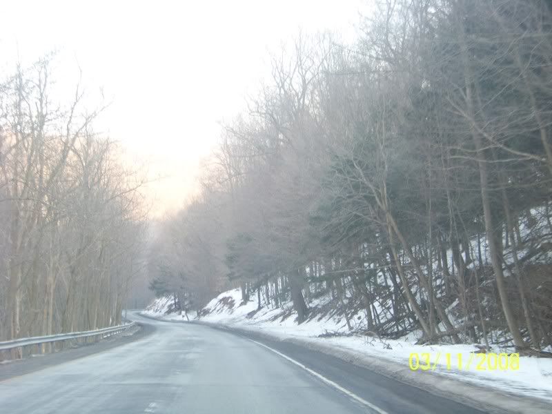
Down the side of old US 22 that goes on about where the old Incline #6 was. The Bridge took the old Raystown Road (The name US 22 was called at the time of the Canal, the US highway numbering system was NOT adopted till the 1920s):
Here is the Bridge built to take the New Portage railroad (Built 1954) over the Raystown Road and the stream that made this Gap down Allegheny Mountain:
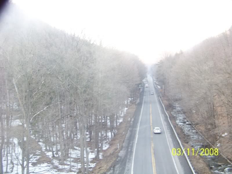
Here is the view from atop the Bridge looking down on old 22 as it goes up Allegheny Mountain:
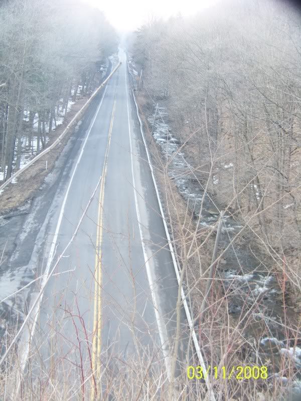
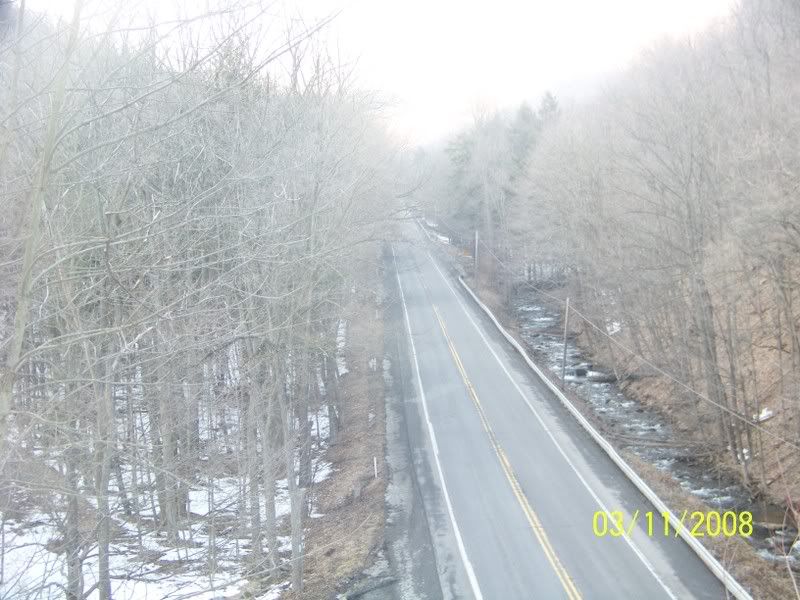

View looking on the other side of the Bridge:

The old road bed, no improvements here, but wait:
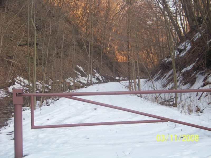
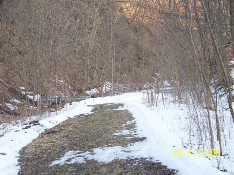
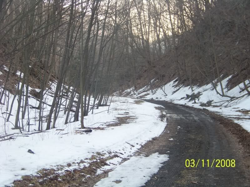
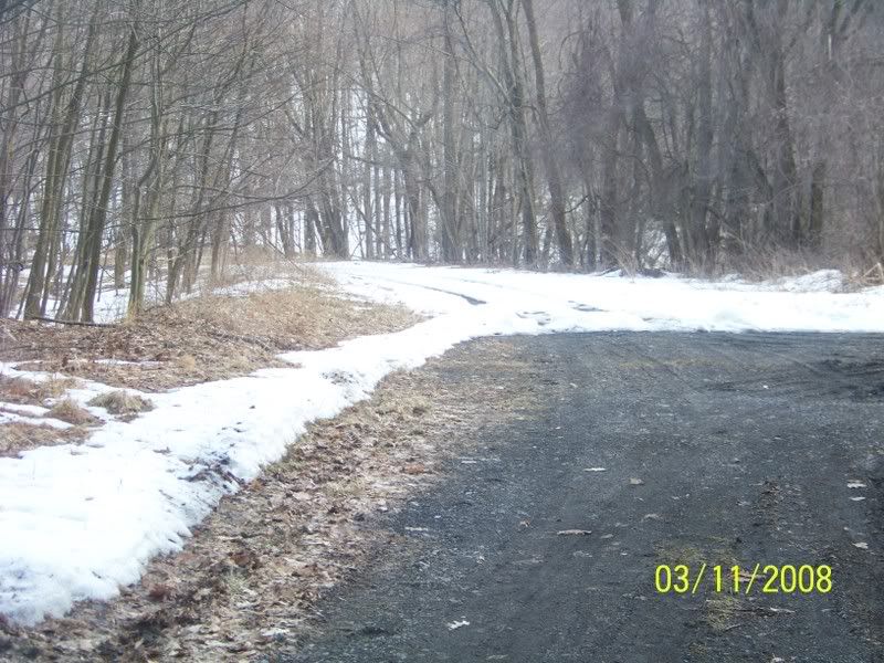
Looks like someone plowed the snow off the old road bed, probably the water authority, they have access to the road bed to get to one of their plants. The Altoona Water Authority has two dams in this same Valley. THe Dams were originally built for the canal, but later converted for use by Altoona for water supply Sorry (no Pictures of the Dams).
Picture of the Incline on your left and Old 22 on your Right:

I then went down the Road to "Foot of ten" this hamlet is named after Incline #10. On the Old Portage railroad I saw nothing, and no where to park so I went about another 200 feet uphill to where the New Portage railway had been and saw more Surveying sticks:
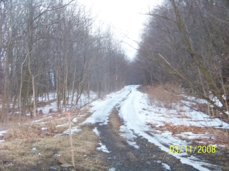
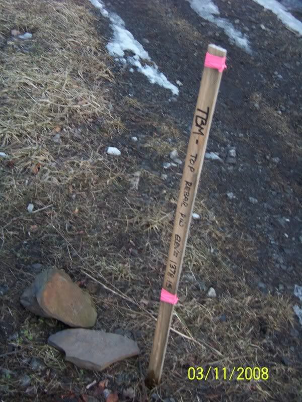
Looks like a plan to build a Bridge over the Road at this location:
The New Portage Railroad (Built 1854, sold to the Pennsylvania Railroad in 1859, abandoned sometime in the 1960s):


I went further down old 22 and came to another side-road, that took me again to the New Portage railroad and this site even had a new set of restrooms being built by the National Park Service. I took no pictures for by that time it was to dark AND the restrooms where in an area behind temporary snow fencing.
Thus it looks like they is work being done between Inclines # 10 and the top of Incline #6, but I see no work in between. I suspect the plan is just to build between Foot of Ten and #6 to complete the Eastern Side of the Portage railroad. I suspect the work will be on the New Portage Railroad till it crosses old US 22 and either up along the New Portage Railroad as it swings around the "mule-shoe" Curve (Similar to the more famous "Horseshoe Curve" on the Pennsylvania Main line and then out the road by the old Skew Bridge OR right up old 22. I suspect the Mule-shoe for it si a much easier grade to go up then old 22.